Map Library
The documentary collection of the Map Library of the CEG/IGOT-ULisboa comprises approximately 50,000 documents, the majority of which are from the 19th and 20th centuries and originate from the official publications sector of the Portuguese State. Incorporated progressively into the CEG since its foundation in 1943, it has supported the research work of this Centre and the teaching of Geography at the University of Lisbon since then – first in the Department of Geography of the School of Arts and Humanities and, since 2008, at IGOT-ULisboa.
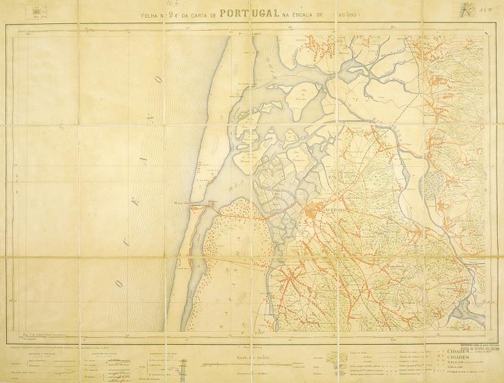
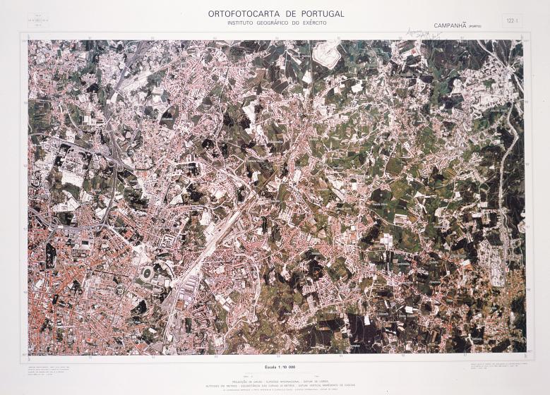
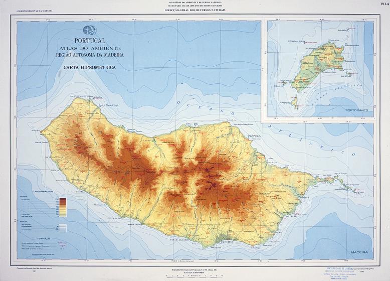
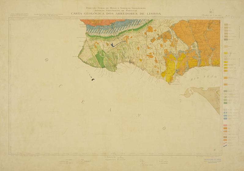
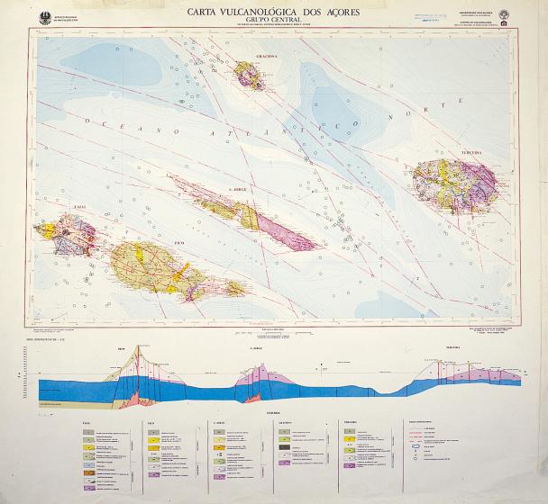
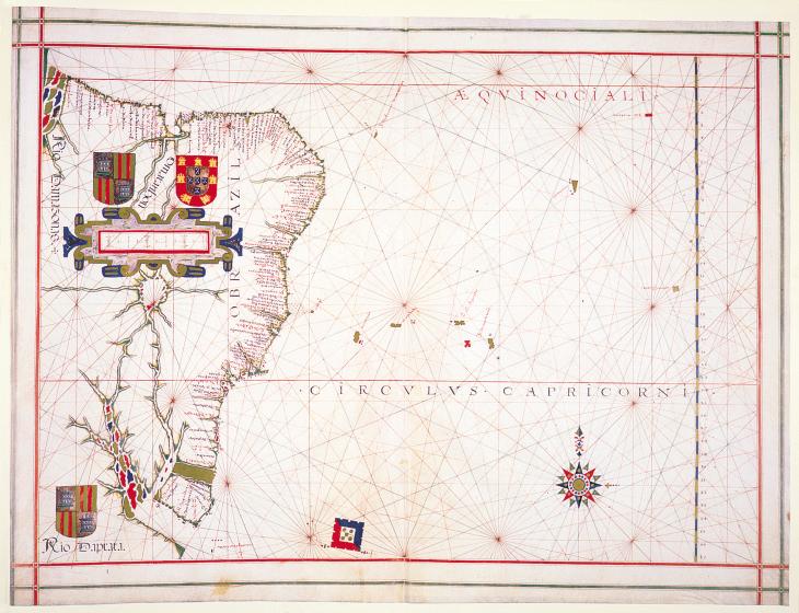
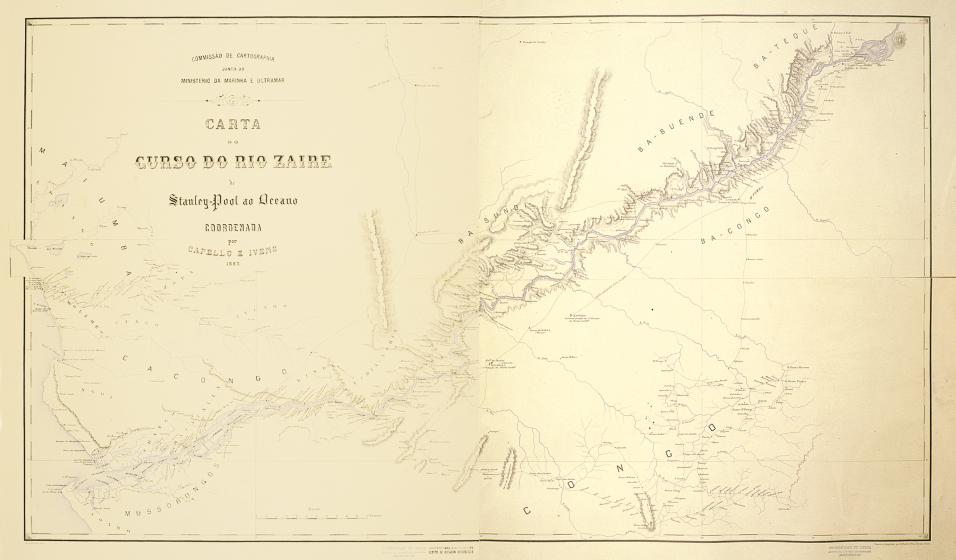
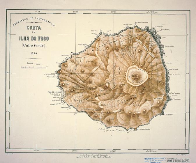
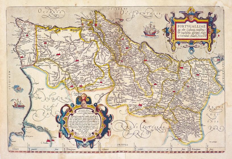
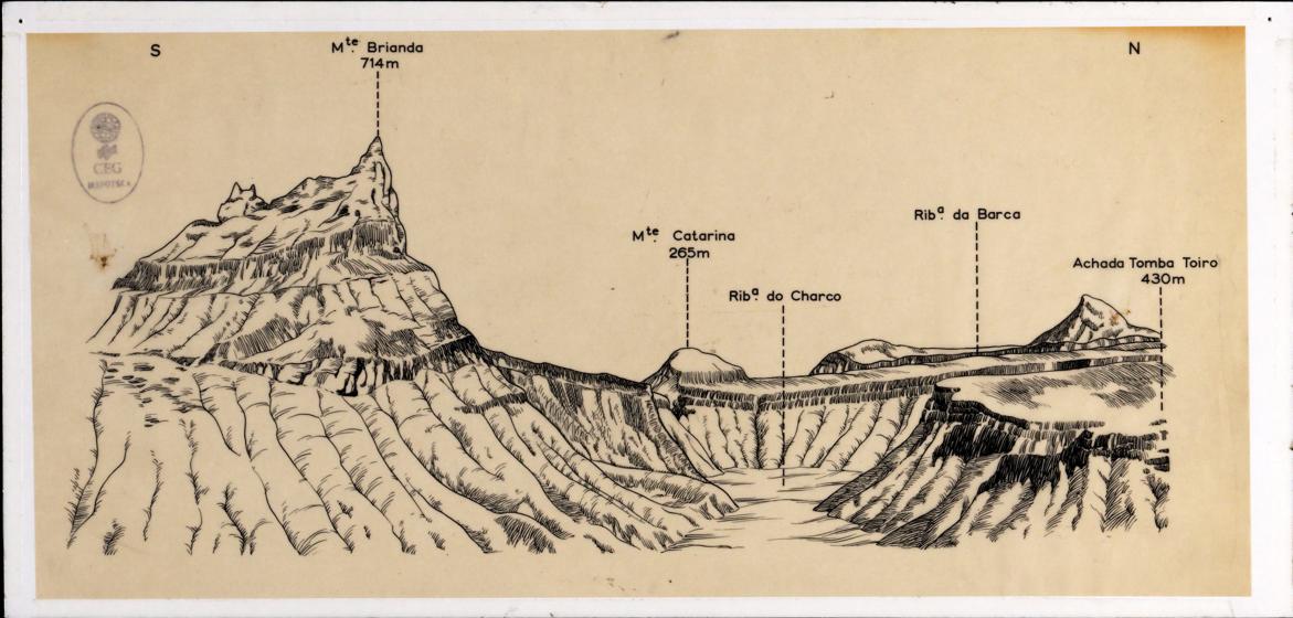
The main collection consists mostly of documents relating to Portugal and the territories of the former Portuguese colonies in Africa and includes cartographic and thematic series, hydrographic charts, plans, explanatory notes, weather bulletins, atlases, and wall maps. It also includes an old collection, consisting of about 2,000 maps produced between the mid-19th and early 20th centuries, and a collection of India ink drawings on tracing paper elaborated by CEG researchers, some of which were designed for the illustration of scientific publications. In addition to its value for the history of geographical science in Portugal, it is a collection that continues to be irreplaceable for the reconstruction of the dynamics of many of the represented territories and, consequently, for the understanding of current realities and their prospective.
The CEG Map Library is a recognized producer of technical instruments for the cataloguing of cartographic material and is articulated with the main Portuguese public entities that produced or safeguarded the majority of the cartographic series represented in its collection. In this context, it is undertaking the construction of a Digital Map Archive, based on the cartographic collection treated jointly with the current Centre for Geospatial Information of the Army (CIGeoE). This task aims to ensure the digital preservation of this cartographic collection and, simultaneously, to enhance its use by the national and international scientific community. It is also a regular practice of the Map Library to organize and collaborate in the organization of exhibitions and other initiatives aimed at promoting cartographic literacy among primary and secondary education and non-academic audiences.


